Waste management logistics & Geoengineering
All waste management challenges are addressed based on Local Knowledge-Based Solutions (LKBS) and Knowledge-Based Systems Model Methodology (KBSMM) with special focus on preventing the generation and minimising the waste that is being generated as a first priority. Reuse and recycling solutions that utilises waste as a resource, followed by treatment and finally ultimate disposal of the remaining waste becomes our second solution-search-platform.
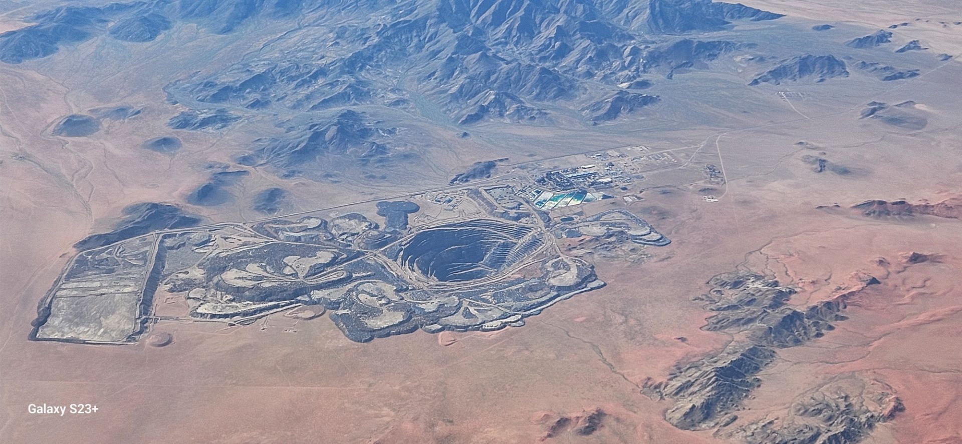
Currently the focus of municipal waste management systems in most urban settlements in developing countries including Namibia is still on collection and disposal of waste in uncontrolled, unlicensed and unsafe landfill sites. Increasing population, urbanisation, industrialisation and even consumer patterns are among the contributing factors to the ever-increasing amounts of waste being produced. Hence, waste management is a developmental challenge that is at the centre of Namibia’s sustainable development goals that are in line with Vision 2030. This is in line with internationally accepted principles as well as the specific context of Namibia particularly the fragile arid and semiarid conditions, thus represents a move away from waste management through impact management and remediation, to a more proactive management system that focuses on waste prevention and minimisation.
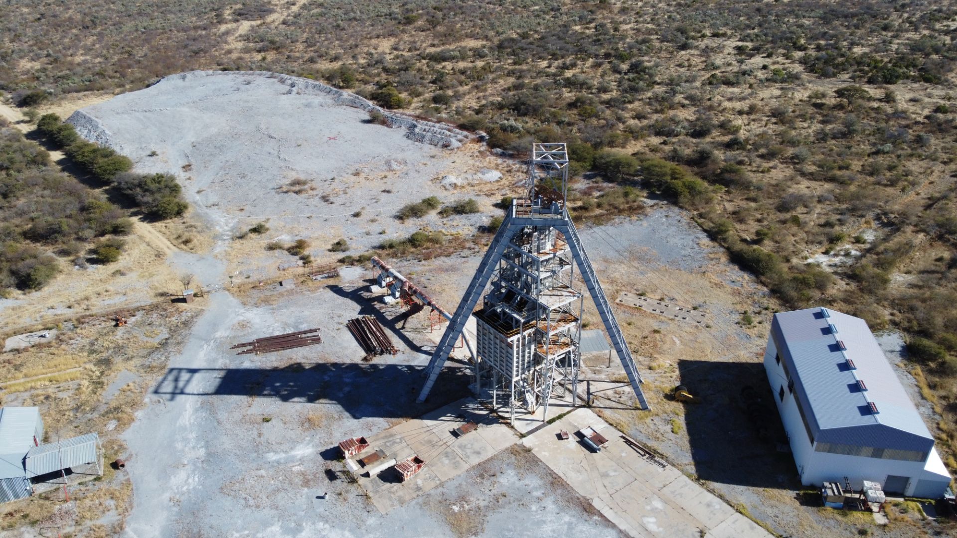
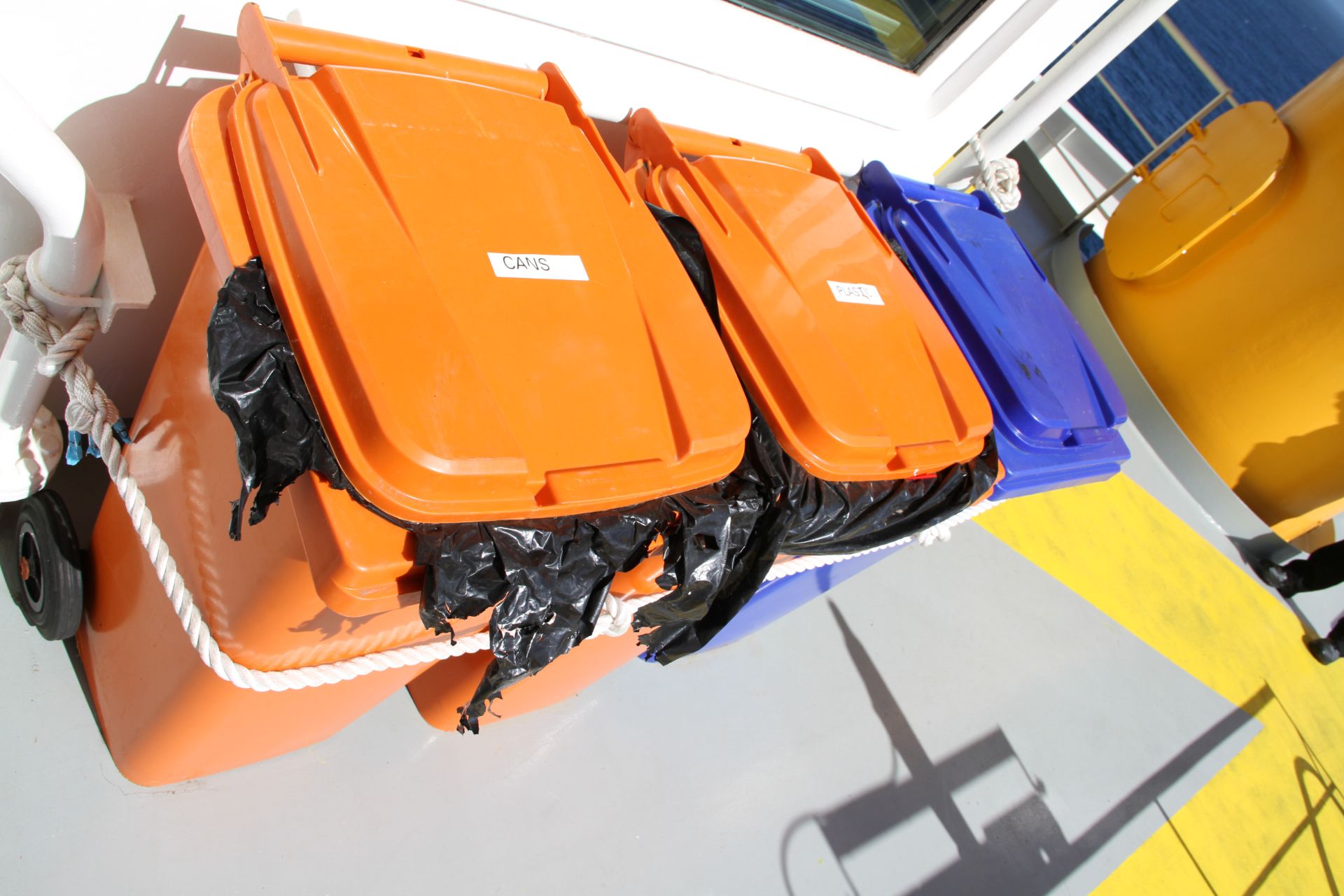
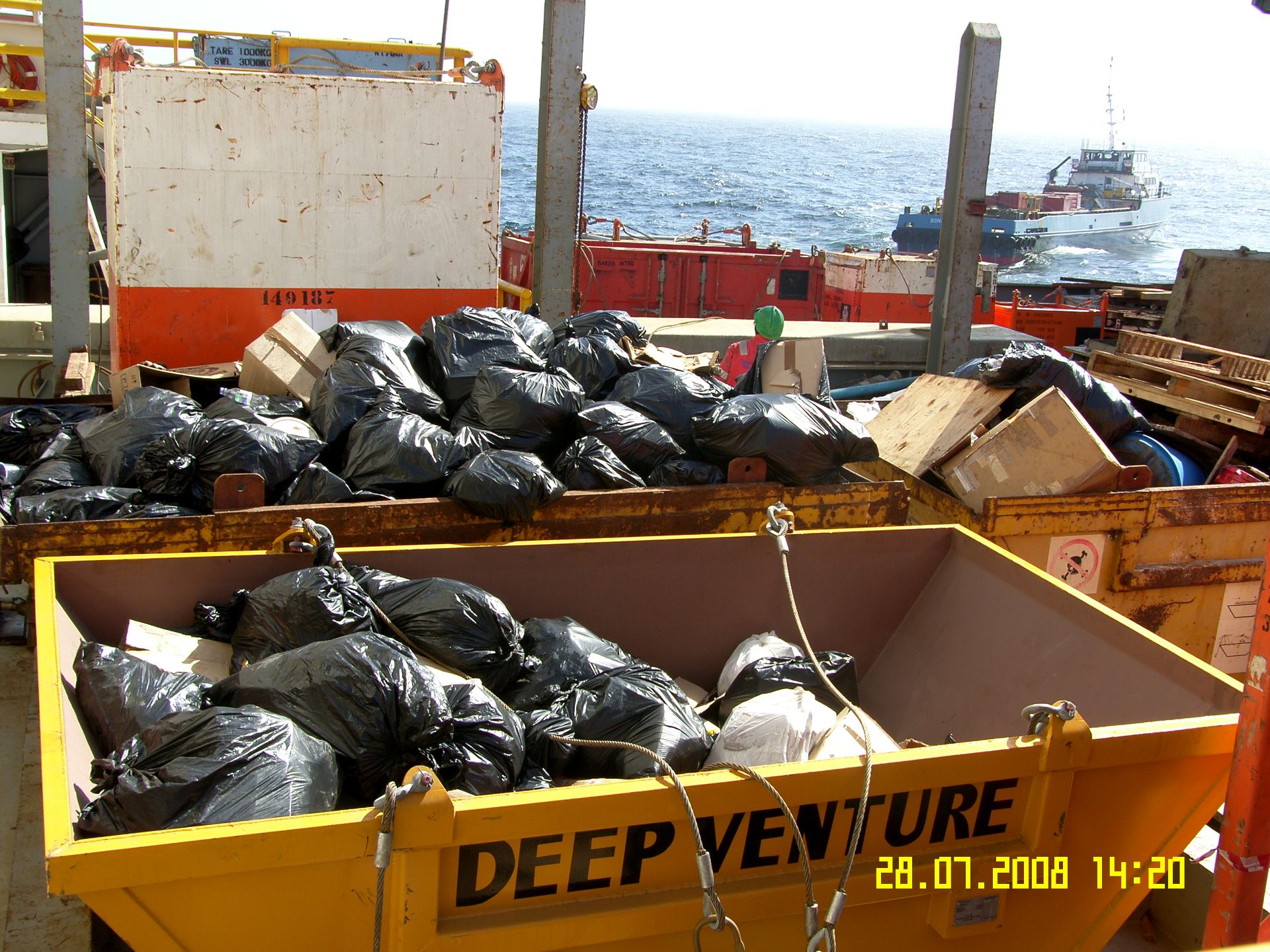
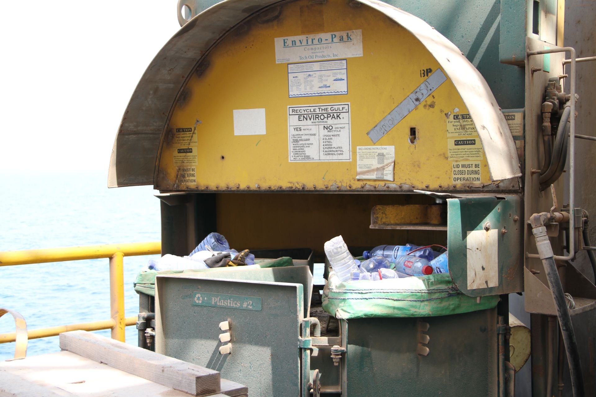
Within the content of our developed LKBS and KBSMM, RBS has the capacity and intellectual resources and is in the forefront of research and development with respect to sustainable waste management solutions for Central, Regional and Local Governments as well as private companies particularly the onshore and offshore mining and petroleum (oil and gas) industries, from collection to responsible ultimate safe disposal, including short and long-term environmental liability management solutions. Our Waste Management services covers sustainable municipal, onshore and offshore mine and oil and gas waste management solutions, waste characterisation and waste minimization programmes. We provide waste management systems development and implementation for small and large local government centres covering economic assessments, selection / site investigation, development / design, operation /management; restoration, monitoring and aftercare services.
At a strategic level, we specialise on Standards and guidelines on municipal landfills and mine waste disposal sites selection, development, design, operation, monitoring, restoration & aftercare Standards and guidelines on collection, transportation, storage, recycling, re-use, recovery and disposal options.
Geotechnical/ Geological/Geoenvironmental Engineering covering urban land use and zoning using our Knowledge-Based GIS Thematic Mapping and Vulnerability Mapping Approaches as Decision Support Tools (DSTs) in responding, linking and developing integrated and sustainable solutions to challenges of urban environment and climate change adaptative infrastructures.
Urban and rural land use planning requires a complete understanding of the environment, climatic and ground conditions on which all types of infrastructure are founded. The problems associated with unsuitable ground conditions for infrastructure development in topographically higher and lower areas have similar financial and safety implications. In topographically higher areas, varying material properties and weathering profiles are among the factors that often result in structural cracking due to ground settlement. For instance, water seepage, particularly during the rainy season, is a major problem for properties that are located on sloping areas with vertical material variations, typical of the ground condition found in some parts of Windhoek. Seasonal flooding frequently affects infrastructure such as houses and other services that are located in topographically low areas typical of the conditions associated with the some of the northern part of Namibia and eastern part of Katima Mulilo.
However, all these problems can be avoided if they are identified before the policy, plan, programme or projects implementation and construction so that appropriate mitigation measures and relevant engineered structures such as retaining walls, drainage systems and flood defences are put in place.
RBS has developed System Methodologies (SM) that are in line with our objective-goal-drive of promoting Local Knowledge-Based Solutions (LKBS) within our Geotechnical/ Geological/Geoenvironmental Engineering field. RBS has the capacity and intellectual resources to assist central, regional, local as well as private and public companies and individuals in developing Climate Change adaptive and resilient infrastructures for both urban and rural land use planning process. The following five DST layers are among our products that we provided within the Geotechnical/ Geological/Geoenvironmental Engineering specialised field:
- A Superficial Geotechnical layer that will indicate the geotechnical parameters of each lithology.
- A Solid Geotechnical layer that will indicate the geotechnical parameters of each lithology.
- A Geomorphology layer showing all the geomorphic features.
- A Constraint layer showing all the constraints that have an influence on various infrastructural developments, and.
- An Opportunity layer that will indicate the infrastructural development opportunities in the different areas mapped.
We use our Knowledge-Based GIS Thematic Mapping and Vulnerability Mapping Approaches as Decision Support Tools (DSTs) in responding, linking and developing integrated and sustainable solutions to challenges of environmental settings, climate change and ground engineering for surface and subsurface infrastructural development projects such as township developments, resorts, roads, mines, oil and gas field, fuel depot, dams, refineries, power stations and rivers and coastal engineering.